Seoul subway stations are not just train platforms. Many of them are underground neighborhoods with several exits, long transfer corridors, department stores, food courts, office towers, and street crossings that do not always line up neatly above ground. That is why a tourist who chooses the right train but the wrong exit can still lose time, miss a reservation, or arrive sweaty before the day has properly started.
Last checked: June 1, 2026. Re-check the official app, service, or app-store page before acting, because routes, prices, labels, rules, app screens, eligibility, and store/service policies can change.
Last updated: May 26, 2026.
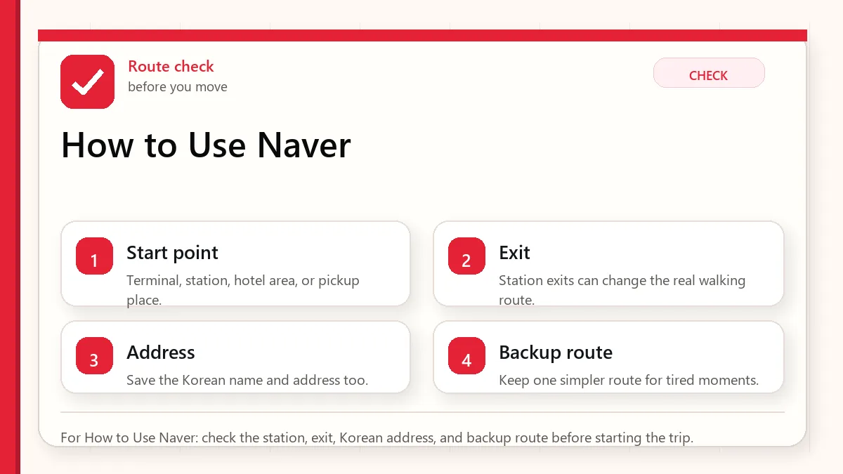
The practical answer is not simply “download Naver Map.” The useful answer is to use Naver Map in a way that matches how Korea is organized: Korean place names, subway exit numbers, walking routes from the exit, and a backup screenshot when mobile data or translation becomes awkward. If you came to this page after searching for subway exits in Seoul, this guide is written for that exact moment.
Start with the place name and exit
Set Naver Map to English before you arrive, but keep the Korean name of your destination saved. Search the place, open the route, choose public transit, and look for the recommended subway exit number before you leave the train station. Once you exit, switch from transit mode to walking mode and confirm the final few minutes on the street. For hotels, clinics, restaurants, and meeting points, save a screenshot with the Korean address and exit number.
Why subway exits matter in Seoul
In many cities, a station name is enough. In Seoul, the station name only gets you close. A single station can have ten or more exits, and the wrong exit may put you across a wide road, behind a building, or at the opposite end of a shopping district. This matters most in areas such as Myeongdong, Hongdae, Gangnam, Seoul Station, Jamsil, Jongno, and Yeouido, where underground passages and street layouts can feel like separate systems.
Exit numbers are also used as everyday landmarks. People may say “meet at Hongik Univ. Station Exit 9” or “the clinic is near Gangnam Station Exit 11.” If you only save the business name in English, you may still be missing the most useful part of the directions.
Set Naver Map to English first
Before your flight, install Naver Map and open the settings menu. If English is available in your version, switch the app language before you start saving places. This reduces pressure when you are tired after arrival. The exact menu labels can change, so use the official Naver help page if your screen looks different.
Do not expect every piece of map content to become perfect English. App menus, route categories, and major station names are easier. Some building names, store names, reviews, and small address details may still appear in Korean or mixed text. That is normal. Your goal is not a fully translated Korea. Your goal is enough structure to move with confidence.
Search with English, then save the Korean name
For major tourist places, English search often works. “Gyeongbokgung,” “Myeongdong Cathedral,” “Seoul Station,” and many hotels can appear correctly. The problem starts with small restaurants, beauty clinics, guesthouses, branches inside department stores, or places with similar English names. In those cases, the Korean name is more reliable.
If your hotel confirmation, clinic message, restaurant booking, or friend gives you a Korean place name, copy it into Naver Map and save that exact result. If you only have an English name, cross-check the address, phone number, neighborhood, and photos before trusting the first result. Korea has many branches with similar names. A coffee chain or skin clinic may have several locations within the same district.
The subway exit workflow
| Step | What to check | Why it matters |
|---|---|---|
| Search the destination | Place name, address, neighborhood, phone, branch | Prevents choosing the wrong branch. |
| Tap directions | Public transit route, line color, transfer station | Shows the station path before you move. |
| Read the exit number | Recommended exit and walking distance | Stops you from crossing large roads later. |
| Leave the station | Confirm walking route after GPS settles | Underground GPS can be unreliable. |
| Save a backup | Screenshot with Korean address and exit | Useful for staff, taxi drivers, or weak data. |
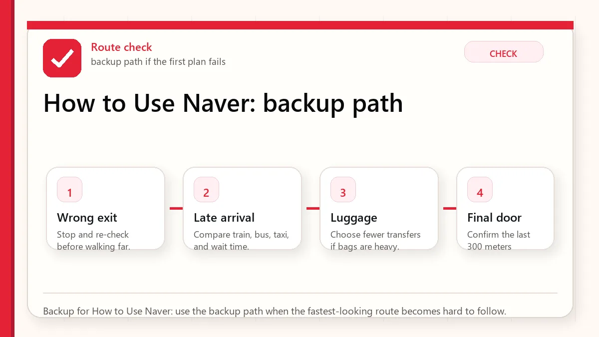
Use exit numbers before GPS starts behaving
GPS can drift inside stations and under large buildings. If the app seems confused while you are underground, do not keep spinning in circles. Follow the station signs to the recommended exit number first. After you come above ground and walk a short distance, your phone usually has a better chance of placing you correctly.
This is why exit numbers are more useful than a blue dot at the beginning. The station sign system is physical, visible, and consistent. Your GPS dot is helpful, but it may not know which underground level you are standing on.
When English search fails
If English search fails, try three recovery paths. First, paste the Korean name. Second, search the road address in Korean if you have it. Third, search a nearby landmark such as the station, department store, university, or hotel and then look for the destination in the area. For restaurants and small shops, a Korean phone number can also help distinguish one branch from another.
If you are using a booking app, compare the map pin with Naver Map rather than assuming every imported pin is precise. A small address mismatch matters more in dense Korean neighborhoods than it may at home.
How to read the final walking route
The last five minutes are where tourists make the most mistakes. Naver Map may show a walking line through a side street, underground passage, or building-connected route. Before following it blindly, check whether the route starts from the correct exit. Then look for the first turn, the side of the road, and any major landmark. If the route crosses a wide street immediately after exit, confirm whether there is a crossing, an underground passage, or a different exit that would avoid the crossing.
For late-night arrivals, rainy days, strollers, or large luggage, the “shortest” route is not always the best route. A slightly longer route with fewer stairs can be more comfortable.
Hotel, clinic, and reservation addresses
For hotels, save the Korean address, English address, phone number, and nearest subway exit. For clinics, salons, restaurants, and appointments, also save the floor number and building name. Korea often uses multi-floor commercial buildings where several businesses share the same street entrance. The map can get you to the building, but the appointment message often gets you to the correct floor.
If you will arrive by taxi after using the subway earlier in the day, keep the same Korean address screenshot. Taxi drivers may recognize a building or road name faster than an English brand name.
Common mistakes
- Trusting station name only: The station is not the destination. The exit is the first real checkpoint.
- Saving only English names: English names are convenient, but Korean names are often more exact.
- Ignoring branch names: Search results can show another branch in the same district.
- Following GPS underground: Use station signs until you are above ground.
- Not saving screenshots: A screenshot can rescue you when data, battery, or translation becomes unreliable.
FAQ
Is Naver Map fully in English?
No. The app can be used in English, but some place names, reviews, building labels, and local details may still appear in Korean or mixed text. Save Korean names for important destinations.
Can I use Google Maps instead?
Google Maps can help with general orientation, but visitors should still keep Naver Map as a Korea-specific backup for place search, transit details, and station exits.
What should I screenshot before leaving my hotel?
Screenshot your destination name in Korean, the address, phone number if available, nearest station, recommended exit, and final walking route.
Do subway exits have elevators?
Some do, but not all exits are equally convenient for luggage or strollers. Check station signs and route details, and allow extra time if accessibility matters.
Related Before Korea guides
- Naver Map in Korea: Setup Guide for Visitors
- Google Maps vs Naver Map in Korea
- Korea Subway and Bus Guide
- Korea Subway Etiquette for Tourists
- Korea Travel Apps Setup Before Arrival
- Translation Apps in Korea
Official links to check
Use these official links when the next step matters. This guide explains what to watch for, but app downloads, eligibility, prices, routes, policies, and service rules can change.
- NAVER Map web: Use the web map to test place names, Korean addresses, routes, and station exits.
- NAVER Map on Google Play: Download the Android app from Google Play.
- NAVER Map on the App Store: Download the iPhone app from the App Store.
- NAVER Map official service page: Check NAVER's official service information for NAVER Map.
- T-money official site: Check current card, top-up, refund, and mobile T-money information.
- Seoul Climate Card official English page: Check coverage, card types, and tourist limitations before buying.
- WOWPASS official site: Check current prepaid card, exchange, app, and transit-card features.
- AREX official site: Check airport train routes, tickets, and operating information.
- Seoul official airport-to-city transport page: Check official Seoul guidance for airport train, bus, and taxi options.
Sources and official checks
This guide was written for travel planning. App screens, fares, product labels, and service rules can change, so check the official pages below and the current app screen before paying or relying on one route.